Yr Wyddfa (Snowdon) via the Rhyd Ddu Path
Rryd Ddu Eryri National Park Gwynedd Wales
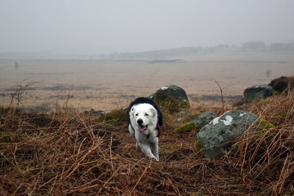
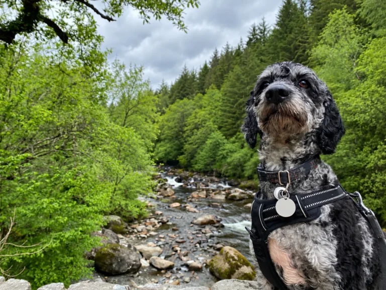
A quieter but challenging route to the summit of Yr Wyddfa, combining steady lower paths with steep rocky climbs, exposed ridge walking and spectacular mountain views. We walked the Rhyd Ddu Path with Bandit in June 2022.
Not for the casual walker, this route is considered Hard / Strenuous
The walk
Overview
The Rhyd Ddu Path is a quieter but demanding route to the summit of Yr Wyddfa, combining a gradual lower approach with increasingly steep and rocky mountain terrain before a dramatic final section along Bwlch Main. We walked the 12 km out-and-back route with Bandit in June 2022, completing it in around 5½ hours at a fast pace with only short stops.
The lower part of the route felt fairly straightforward, with a mixture of easier walking and steady climbing. Higher up, the character of the walk changes considerably, with steeper ground, narrow sections and larger rocks to negotiate.
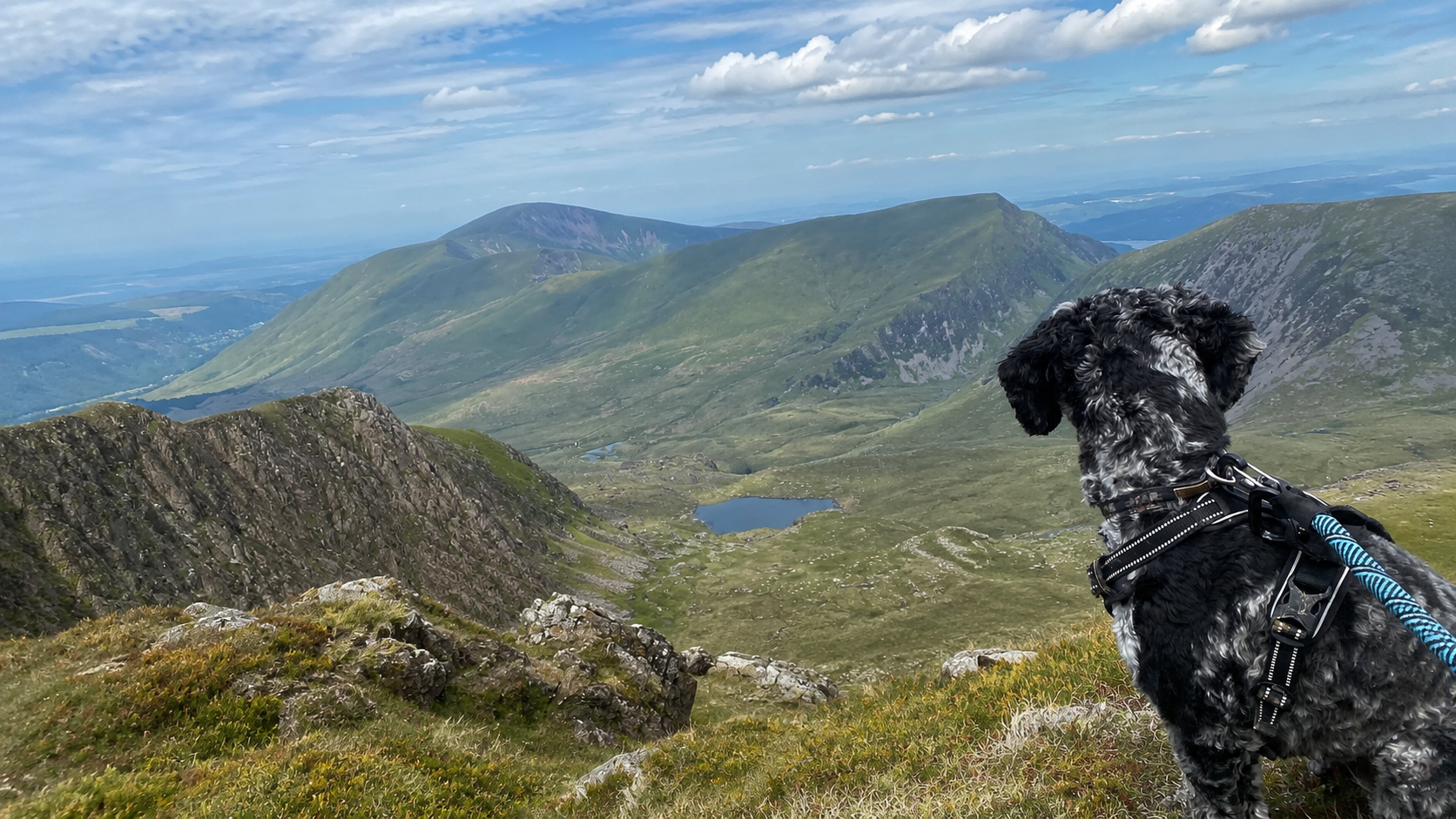
The exposed ridge sections were some of the most memorable parts of the walk, with outstanding views, but they were also where the route felt most serious. Bandit managed the route well as a young, energetic dog, but the sustained climb and exposed upper sections make this better suited to confident walkers and fit, experienced dogs than casual ramblers.
Important: On the descent, take care at the Bwlch Main/South Ridge junction. To return to Rhyd Ddu, bear right rather than continuing down the South Ridge.
Important before you set out
Access & safety
Check these practical points early, especially if you have mobility or access requirements, use a wheelchair, mobility scooter or pushchair, or are walking with a less-mobile dog.
Access & mobility
Route access
The route is officially Hard/Strenuous, involving steep and rough mountain terrain, narrow rocky sections and possible scrambling. It may be worth looking into the nearby Lôn Gwyrfai or the Train, this may be a better option for accessability, but research would be needed before traveling.
Safety
Before you go
This is a demanding mountain route with steep climbs, rocky ground and exposed upper sections. Weather can change quickly, so check the forecast, wear proper footwear, carry water and layers, and allow enough time for the full out-and-back walk. Best suited to walkers with some mountain experience and dogs that are confident on uneven terrain.
Follow the route
Route directions
Use these directions alongside the map and local signage. Paths, access and conditions can change.
10 steps
Get directions to the start- 1
Start from Rhyd Ddu car park, with the main road behind you. Head towards the far end of the car park, pass the public toilets and go through the gate on the right. Cross the railway carefully, closing the gates behind you, then continue along the track.
- 2
When the track forks, take the right-hand route and continue uphill. The path climbs gradually at first, passing through a series of gates and open farmland before the terrain starts to feel more mountainous.
- 3
As you gain height, the path becomes rougher and steeper. You’ll eventually reach the remains of an old stone hut, after which the climbing becomes noticeably more demanding.
- 4
Continue uphill over rocky ground towards Llechog ridge. From here, the route opens up dramatically, with increasingly wide views across the surrounding mountains and valleys.
- 5
Follow the path as it traverses the ridge above Cwm Clogwyn. This is where the character of the walk changes again: the path becomes narrower, the slopes feel steeper and there is much more exposure than on the lower sections.
- 6
The route then zigzags upwards towards Bwlch Main. Take particular care here, as parts of the path are narrow with steep ground dropping away beside you. In poor weather, high winds, snow or ice, this section can become significantly more serious.
- 7
At the top of the zigzags, the South Ridge path joins from the right. Make a mental note of this junction, as it is particularly important on the descent — when returning to Rhyd Ddu, you need to bear right here rather than continuing down the South Ridge.
- 8
Continue along Bwlch Main, keeping to the clear mountain path. A little further on, the Watkin Path joins from the right near a standing stone.
- 9
From here, the final approach becomes steep and rocky. Continue climbing towards the summit of Yr Wyddfa, where the path eventually joins the busier summit area.
- 10
For the return journey, retrace the same route back to Rhyd Ddu, taking extra care on the exposed and rocky upper sections.
Dog-first route detail
Dog suitability
There is no single dog-friendliness score. These practical dimensions help you judge whether the route suits your own dog.
Suitable for many dogs, but there are specific conditions or management points that need extra care.
Lead recommended / required around livestock and where conditions demand it
We encountered cattle at the base of the mountain. But Yr Wyddfa is home to several mountain farms, so bare this in mind.
Do not rely on natural water sources. Would advise carrying enough water for both walker and dog.
Possible, but significantly more serious in poor conditions.
Generally exposed to the elements.
Dog notes
Bandit completed the Rhyd Ddu Path as a young, high-energy dog and handled it well, but this is not a route for every dog. The lower sections are manageable, but the upper mountain terrain is much more demanding, with rocky ground, steeper climbing and exposed ridge walking. We saw other dogs on the route, but confident footing, stamina and good recall are important. Take extra care in warm weather and always judge conditions on the day.
Recommended for
Useful kit
What we’d pack for this walk
Pawtable · Bowls & Hydration
Pawtable 3-in-1 Dog Water Bottle
The Pawtable 3-in-1 Dog Water Bottle is designed to simplify carrying water on longer walks, hikes and full…
Tractive · Safety & First Aid
Tractive DOG 6 GPS Tracker
A compact GPS tracker for dogs over 4kg, offering live location tracking, escape alerts and activity monitoring through…
 Field-tested
Truelove · Harnesses
Truelove Original No-Pull Dog Harness
A durable dual-clip walking harness with front and rear lead attachment points, reflective detailing and a padded grab…
Parking
Availability: Yes
Rhyd Ddu Station Car Park, off the A4085. The National Park says the car park has around 60 spaces and can fill by around 8am during busy spring and summer periods, so arriving early is sensible. Unlike Pen y Pass, Rhyd Ddu parking is not currently pre-bookable.
Open parking mapFacilities
Toilets: Yes — There are public toilets at the Rhyd Ddu trailhead/car park area, but i wouldnt rely on them entirely. It would be worth confirming these before your journey.
Cafe / pub: Unknown — A summit cafe is available at times, but it was closed when we visited, so bring your own food and water just in case.
Best season
Spring, Summer, Autumn
Possible, but significantly more serious in poor conditions.Nearby highlights
Rhyd Ddu village, Welsh Highland Railway, Lôn Gwyrfai, Beddgelert and Beddgelert Forest.
Research & route confidence
Field-tested
This route has been walked and checked by BandiBoo Walks or an identified field checker.
How BandiBoo researches and verifies walks
Routes, access, livestock and facilities can change. Check local signage and current official notices before setting out.
Preparing for a mountain hike with your dog: what to know before you go
Mountain walks ask more of dogs than ordinary countryside routes. Here’s how to assess fitness, terrain, weather, livestock, water and route difficulty…
Read guide